
About
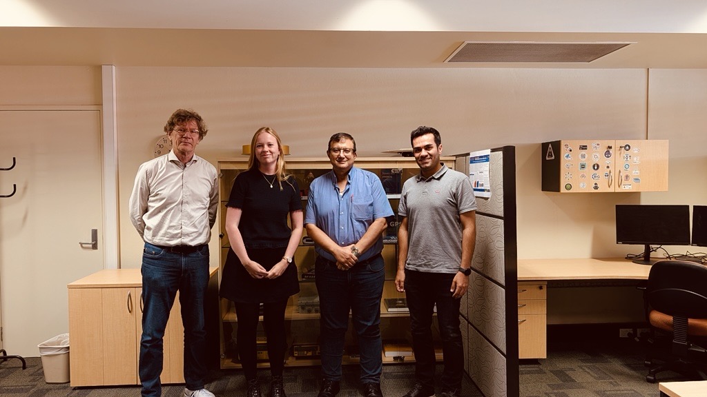
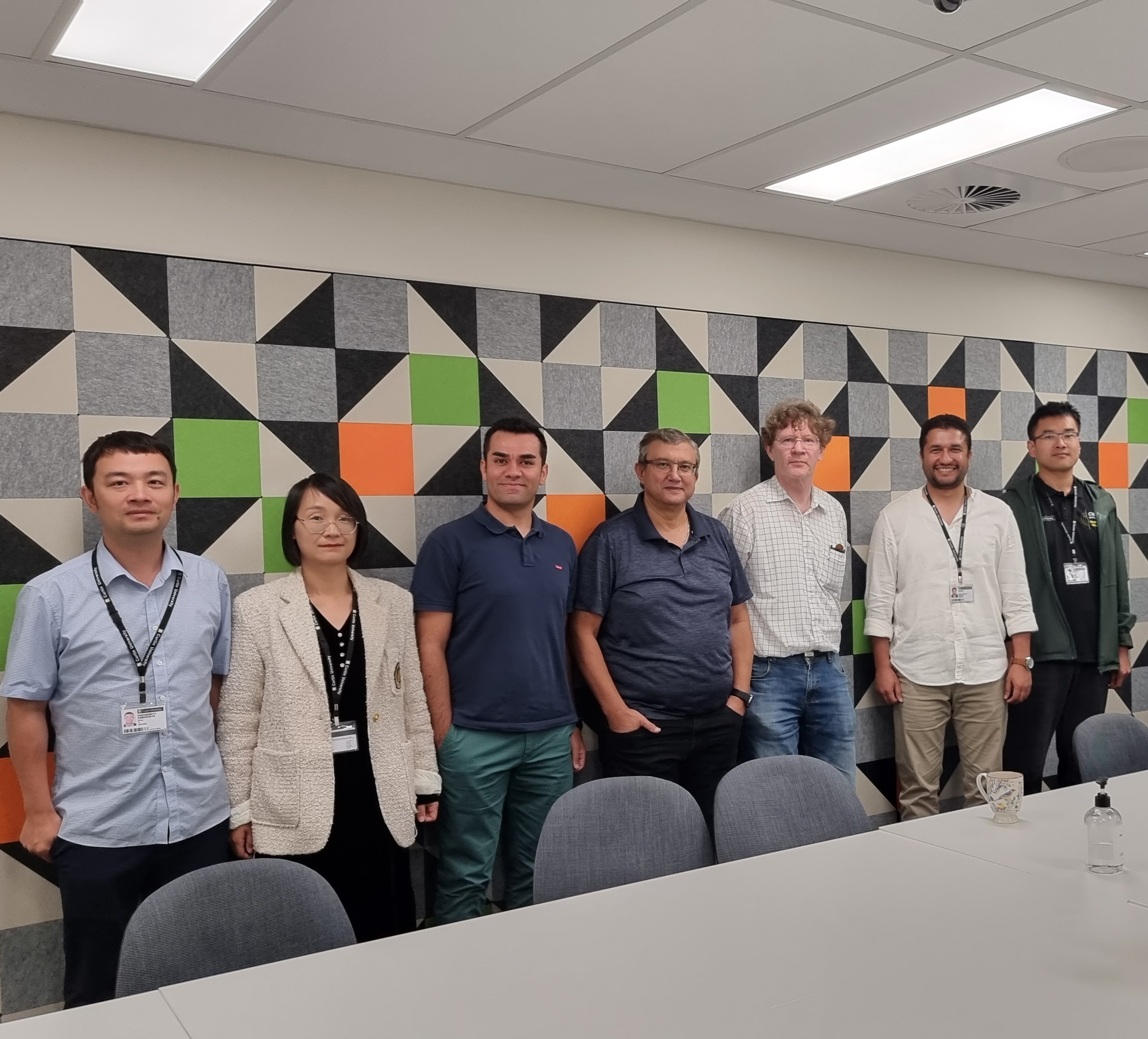
The group
The Satellite Positioning and Navigation Group (GNSS-SPAN) is part of the School of Earth and Planetary Sciences at Curtin University in Perth, Western Australia. It was established as the GNSS Research Centre and took its present name in 2019. The group is led by Professor Ahmed El-Mowafy.
We develop the theory and the methods that make satellite positioning accurate, reliable and trustworthy: estimation and integer ambiguity resolution, precise orbit and clock determination, integrity monitoring, and the use of new signals broadcast from low Earth orbit. The methods are published in the open literature and tested on real data, much of it collected by the reference receivers we operate on campus.
What we work on
Positioning from low Earth orbit (LEO-PNT)
Satellites in low Earth orbit pass overhead in minutes rather than hours, so the observation geometry changes quickly and a position solution converges far faster than it does from GNSS alone. Their signals also arrive much stronger, which matters indoors, in urban canyons and under interference.
Two paths are opening at once. Dedicated LEO-PNT systems are now flying, with the first satellites of ESA’s Celeste in-orbit demonstrator launched in March 2026 and Xona’s Pulsar constellation cleared for full commercial deployment in August 2026. At the same time, the broadband communication constellations already in orbit can be used as signals of opportunity. We work on both: Doppler-based positioning from broadband LEO downlinks, and network-based orbit determination of those satellites using only the Doppler shift of their signals, without any onboard GNSS receiver or cooperation from the operator.
Precise orbit determination
Small satellites carry small antennas, weak power budgets and limited attitude control, which is precisely where standard orbit determination degrades. We work on array-aided orbit and attitude determination for CubeSats, on real-time onboard solutions constrained by predicted orbits and clocks, and on how the latency, gaps and sampling of GNSS orbit and clock products propagate into the orbits computed from them. This last point is easy to underestimate: a product outage of a few minutes can leave an orbit that still looks smooth and is no longer accurate.
Integrity and autonomous systems
An autonomous vehicle does not need only a position; it needs a bound on how far that position could be off, computed in real time. The failure that matters is not a large, obvious error but a small, undetected bias in a solution that appears healthy. Our work covers fault detection, identification and exclusion, Bayesian receiver autonomous integrity monitoring, robust adaptive filtering, and protection levels for PPP-RTK that are cheap enough to compute on vehicle-grade hardware.
Resilience: spoofing, jamming and authentication
GNSS signals reach the ground at very low power and are straightforward to jam and, increasingly, to spoof. Interference is now a routine operational problem rather than an exotic one. We develop detection methods that use independent observations from low Earth orbit as a cross-check on the GNSS solution, alongside work on signal authentication, which moved from research to service with Galileo OSNMA becoming operational in July 2025.
Precise positioning services and infrastructure
Centimetre-level positioning reaches users through services and networks, not through receivers alone. We work on precise point positioning and PPP-RTK, on integer ambiguity resolution and its validation, on ionospheric and tropospheric modelling, and on augmentation services including SouthPAN, the satellite-based augmentation system for Australia and New Zealand. Applications include high-rate positioning for structural health monitoring and hazard early warning, deformation monitoring, and continuously operating reference station (CORS) networks.
Facilities
The group operates a network of multi-GNSS reference receivers on the Curtin campus. CUT0 is a station of the International GNSS Service and of its Multi-GNSS Experiment (DOMES 59945M001), tracking GPS, GLONASS, Galileo, BeiDou, QZSS and NavIC; its daily data are delivered to Geoscience Australia and contribute to the Asia-Pacific Reference Frame. The remaining campus stations, a mix of Trimble and Javad receivers, support zero and short baseline experiments, receiver and antenna calibration, and algorithm testing on real rather than simulated observations.
Processing uses the Bernese GNSS Software and Ginan, the open-source positioning toolkit developed by Geoscience Australia, alongside software written in the group for PPP, PPP-RTK, integrity monitoring and precise orbit determination.
Study with us
We supervise PhD and Master by Research candidates in all of the areas above. Projects are usually a mix of theory, software and real data, and most lead to publications during candidature. Current opportunities are listed on the Vacancies page. Enquiries with a CV and a short statement of interest are welcome at any time.